The summit and Ang Ka nature trail
Top of the mountain
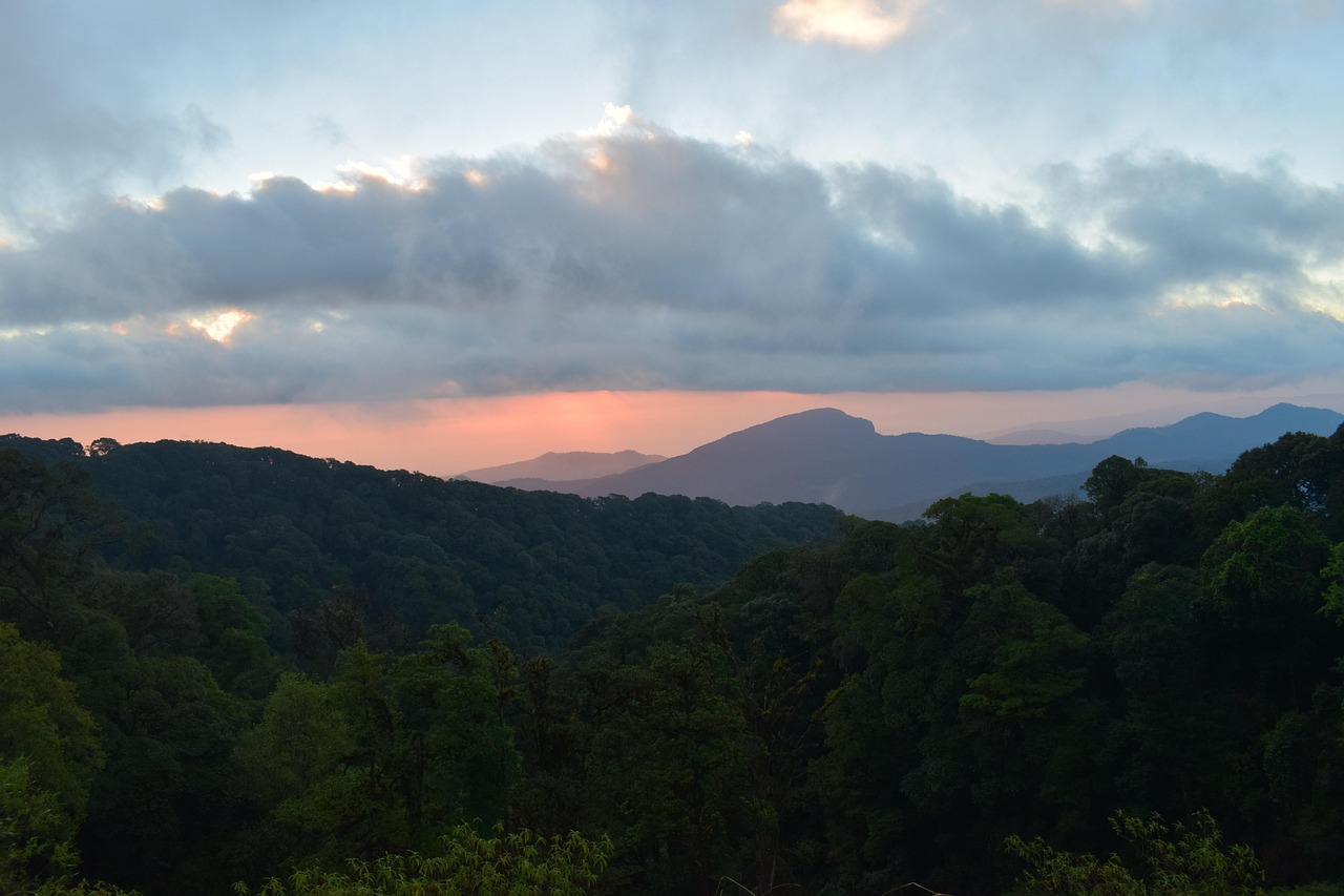
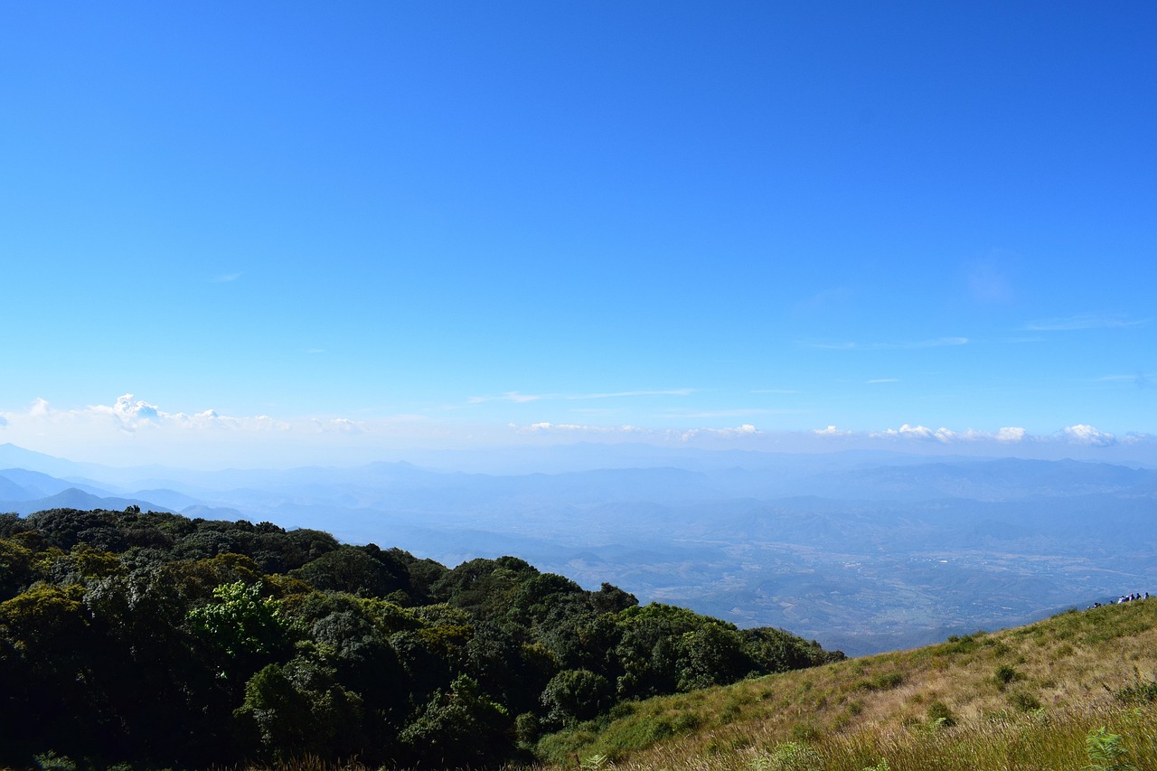
A marker shows the highest point in Thailand. Beside it, the short Ang Ka boardwalk loops through mossy cloud forest and a sphagnum bog.
Open in Google Maps (opens in a new tab)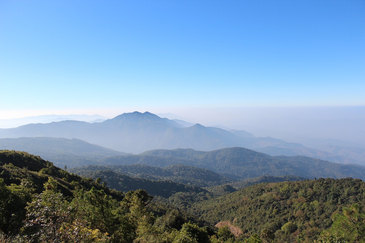
 Chiang Mai, Thailand
Thailand's highest mountain (2,565 m): cloud forest, big waterfalls, the twin royal pagodas and hill-tribe villages — a full day trip from Chiang Mai.
Top of the mountain
A marker shows the highest point in Thailand. Beside it, the short Ang Ka boardwalk loops through mossy cloud forest and a sphagnum bog.
Open in Google Maps (opens in a new tab)Below the summit
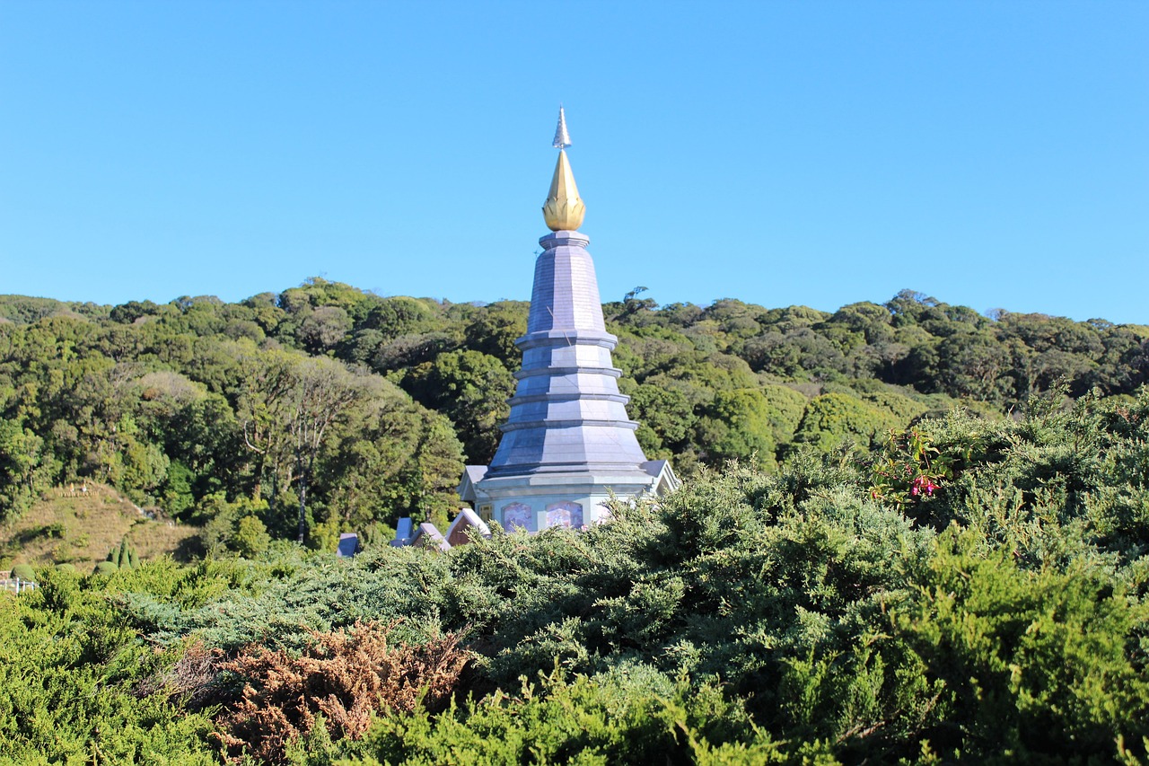
Two pagodas built for the 60th birthdays of King Bhumibol and Queen Sirikit, surrounded by terraced flower gardens and wide mountain views.
Open in Google Maps (opens in a new tab)Along the main road up
A powerful waterfall dropping over a granite cliff, with a viewing area that catches the spray. Strongest in and just after the rainy season.
Open in Google Maps (opens in a new tab)Upper slopes
A ridge-top trail through forest and grassland with sweeping views, walked with a local guide. It is usually closed during the rainy season.
Open in Google Maps (opens in a new tab)Mid-slope
A Karen village with rice terraces, coffee grown under the forest and small homestays.
Open in Google Maps (opens in a new tab)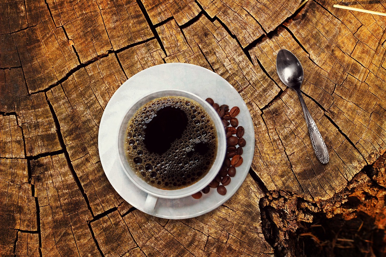
Chiang Mai, Thailand
Arabica grown by Karen villagers on the mountain’s slopes, sold and brewed in small village cafés.
Chiang Mai, Thailand
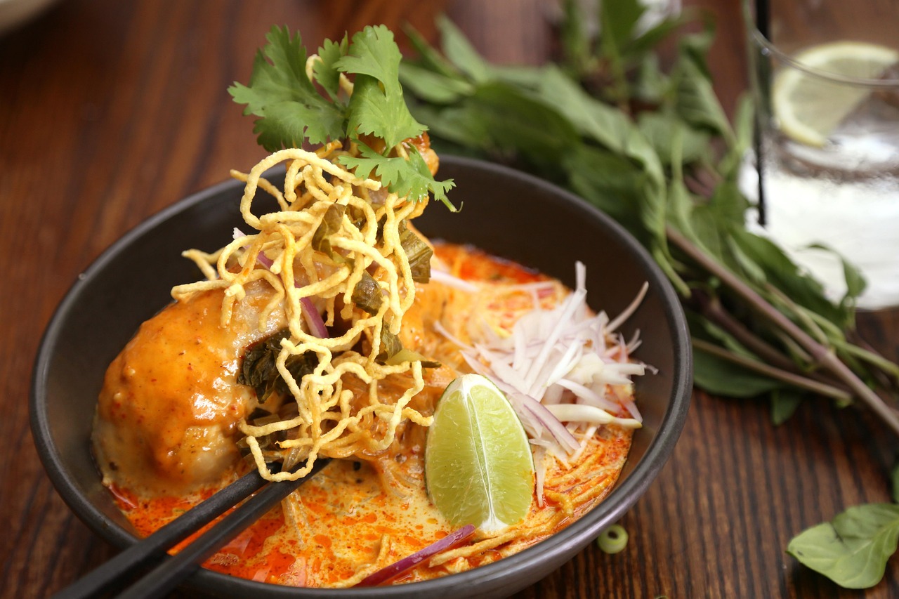
The signature noodle soup of northern Thailand: egg noodles in a rich coconut curry broth, usually with chicken or beef, topped with crispy fried noodles and served with pickled mustard greens, shallots and lime.
Chiang Mai, Thailand
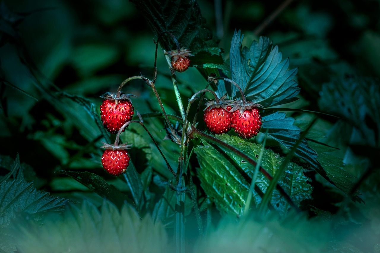
In the cool season, Royal Project farms and roadside stalls sell fresh strawberries and other temperate fruit and vegetables.
Mid-slope, off the main road
Small coffee shops and homestay kitchens run by Karen families.
Open in Google Maps (opens in a new tab)Near the twin pagodas and along the summit road
Stalls selling grilled snacks, fruit, dried goods and hot drinks.
Open in Google Maps (opens in a new tab)Chiang Mai, Thailand
Simple village homestays for a night on the mountain — wake up to mist over the rice terraces.
Open in Google Maps (opens in a new tab)Chiang Mai, Thailand
Quiet lanes of guesthouses and boutique hotels between the temples, within walking distance of Tha Phae Gate and the Sunday Walking Street. The easiest base for first-time visitors.
Open in Google Maps (opens in a new tab)The mountain is home to Karen and Hmong communities, many of whom moved from opium to coffee, rice and vegetables with the help of royal projects. Ask before photographing people, buy crafts and coffee directly from villagers, and stay on the trails — the summit is also a shrine to King Inthawichayanon.
Named after King Inthawichayanon, the last-but-one king of Chiang Mai, who asked for his ashes to be kept on the summit, the park protects cool mountain forest rich in birds and orchids.
Highlights are Wachirathan and Sirithan waterfalls, the Kew Mae Pan nature trail and the two pagodas built for the King and Queen's 60th birthdays.
Drive south-west for about two hours, stopping at Wachirathan Waterfall on the way up.
Reach the top before the clouds and walk the boardwalk through cloud forest.
Walk the gardens and viewpoints around the pagodas.
Hike the ridge trail in the dry season, or have coffee in the Karen village before heading back.
November to February.
About 2 hours by road; join a day tour or hire a car with driver.
There is no public transport inside the park. Most visitors join a day tour or hire a car with driver from Chiang Mai. Driving yourself or riding a scooter is possible, but the road to the summit is long, steep and cold at the top.
Bring a jacket — the summit can be close to freezing in December and January.